Berlin neighborhoods overview — mental map, character, and how they connect
Berlin: Guided Walking Tour in English
How many neighborhoods does Berlin have and how do you navigate them?
Berlin has 12 official boroughs (Bezirke) subdivided into 96 Ortsteile (localities), but visitors typically navigate by a smaller set of recognized neighborhoods. The key distinction is the former East-West divide — West Berlin neighborhoods (Charlottenburg, Schöneberg, Steglitz) have a different street character and infrastructure from East Berlin neighborhoods (Mitte, Prenzlauer Berg, Friedrichshain, Kreuzberg). Understanding this divide is the most useful starting framework for building a mental map.
Berlin is not a city with a center and periphery — it is a collection of cities that were forced together. Understanding Berlin’s neighborhoods means understanding why each one came to exist with its current character: the industrial heritage, the Cold War division, the waves of immigration, and the 35 years of uneven reunification and gentrification. This overview gives you the mental map to navigate all of it.
The framework: the former East-West divide
The most useful single piece of context for Berlin’s neighborhood map is the 155 km border that divided the city from 1961 to 1989. The Wall did not separate rich from poor or old from new — it separated the same city into two different political and economic systems that developed in parallel for 28 years.
West Berlin neighborhoods (Charlottenburg, Wilmersdorf, Schöneberg, Tempelhof, Zehlendorf, Steglitz, Spandau, Reinickendorf) were an island of West Germany surrounded by East German territory. They were supported by massive Allied and West German subsidies, had a well-developed commercial infrastructure, and attracted immigration from southern Europe and Turkey from the 1960s onward. They feel like well-provisioned, somewhat anonymous west European city neighborhoods.
East Berlin neighborhoods (Mitte, Prenzlauer Berg, Friedrichshain, Pankow, Lichtenberg, Marzahn, Köpenick) were the capital of the German Democratic Republic. The central districts had monumental GDR architecture alongside preserved 19th-century Altbau; the outer districts had large prefabricated housing estates (Plattenbau). After reunification, the central east neighborhoods gentrified rapidly, driven by low rents attracting artists, then young professionals, then families.
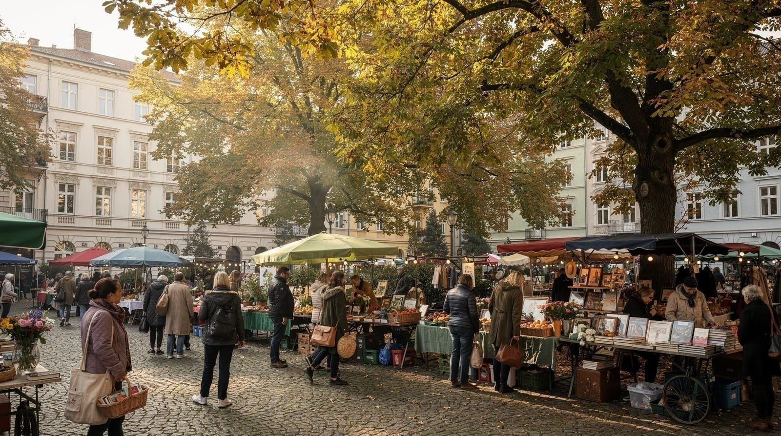
Kreuzberg and Neukölln sit at the former western edge of West Berlin, adjacent to the Wall. Their proximity to the border made them cheap and undesirable during the division; they attracted the Turkish immigrant community and alternative subcultural movements. After reunification, they became the most culturally rich and diverse neighborhoods in the city.
The main neighborhoods at a glance
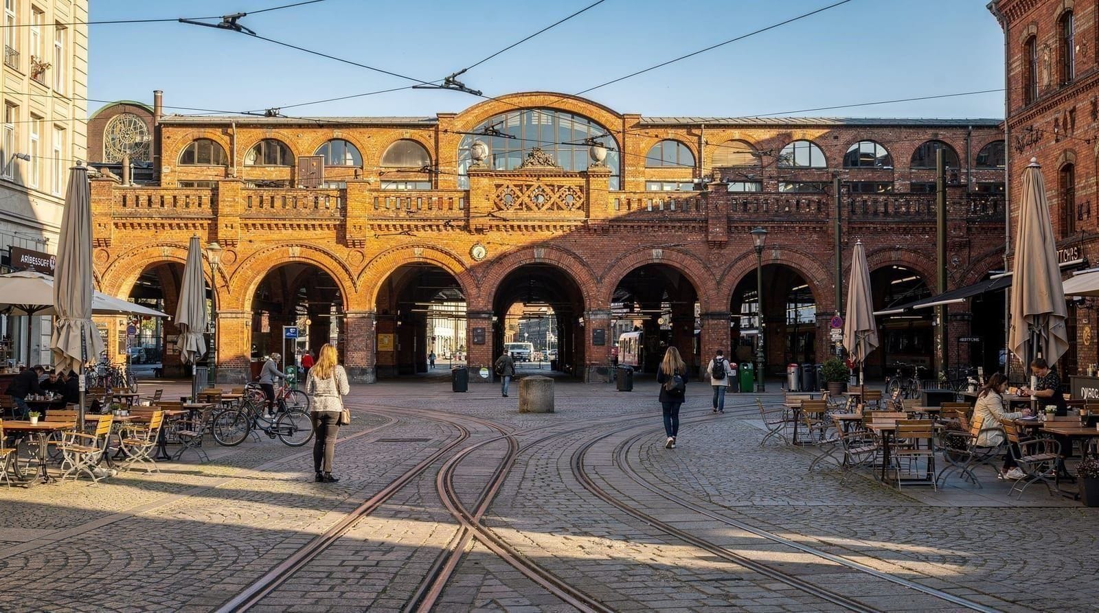
Mitte — the historic center
Mitte means “middle” but is not geographically central — it occupies the historic core where the twin cities of Berlin and Cölln first merged in 1709. It contains Museum Island (five world-class museums, UNESCO World Heritage), the Brandenburg Gate, the Reichstag, the Holocaust Memorial, and the Berliner Dom. It is the most tourist-dense neighborhood in the city.
Character: monumental, expensive, tourist-facing. Hackescher Markt (in northeastern Mitte) offers more neighborhood character. Good transport links.
Who it’s for: first-timers, museum-focused visitors, short stays.
Full guide: Berlin Mitte guide.
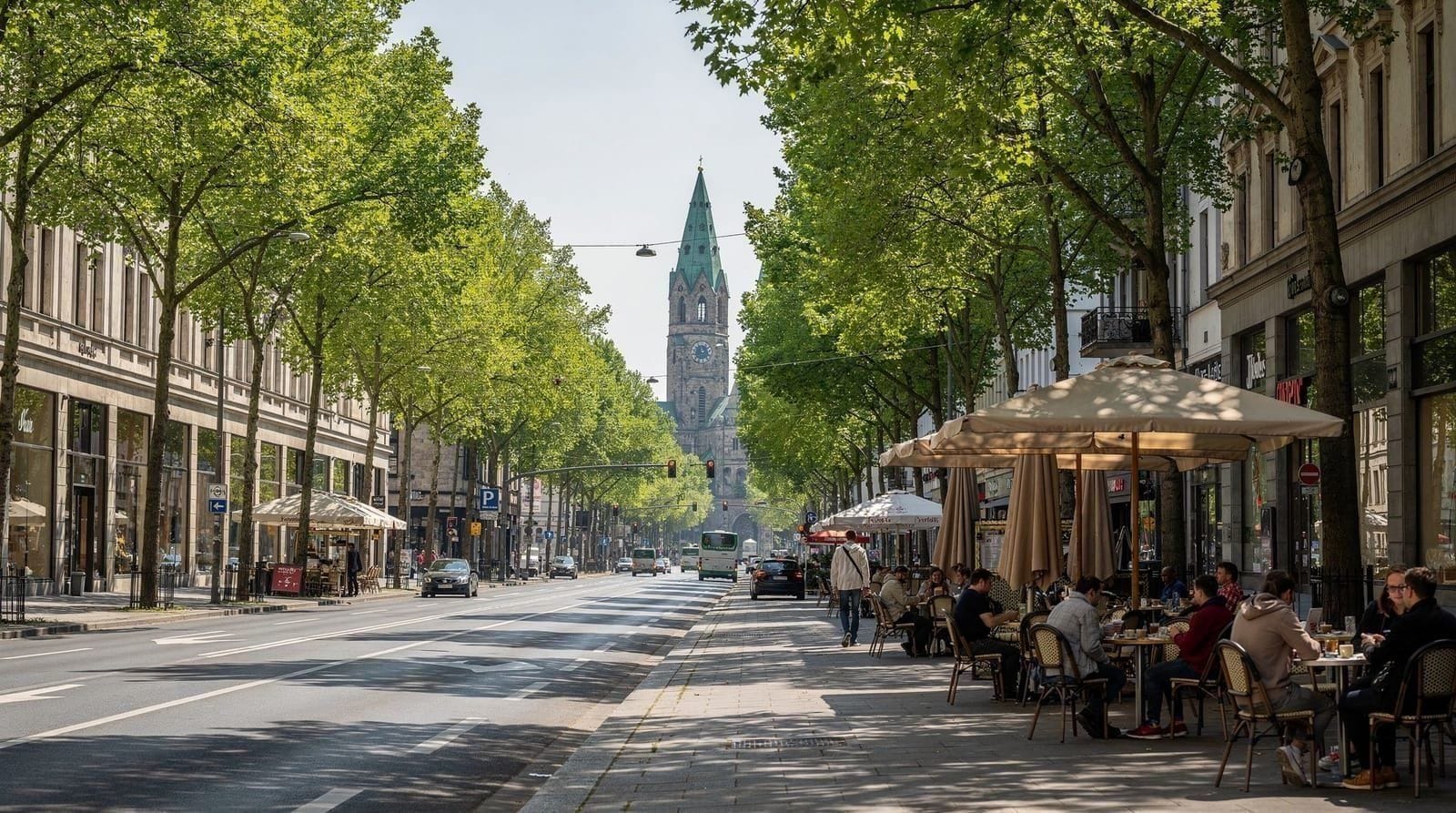
Charlottenburg — West Berlin’s commercial center
Charlottenburg was an independent city until 1920 and the commercial heart of West Berlin until 1990. It centers on Kurfürstendamm (Ku’damm) and contains KaDeWe (the largest department store in Germany by floor space), the Charlottenburg Palace, the Zoo, and the densest concentration of international hotels in the city.
Character: polished, commercial, expensive, comfortable. More architectural character than Mitte but less nightlife or food diversity.
Who it’s for: families, shoppers, comfort-seekers, higher-budget travelers.
Full guide: Charlottenburg guide.
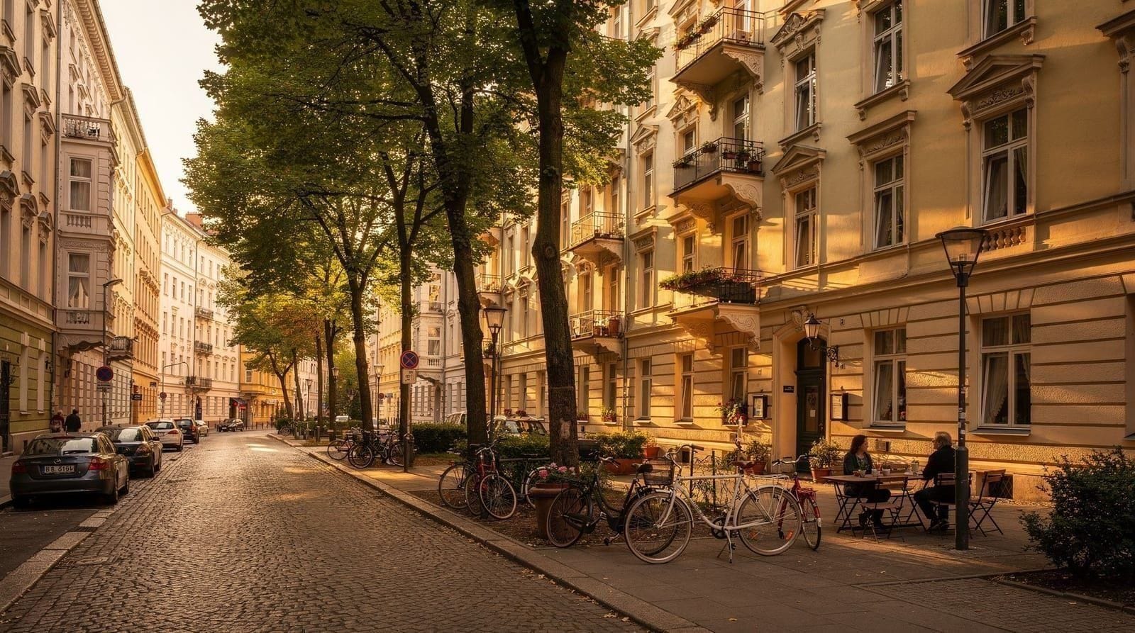
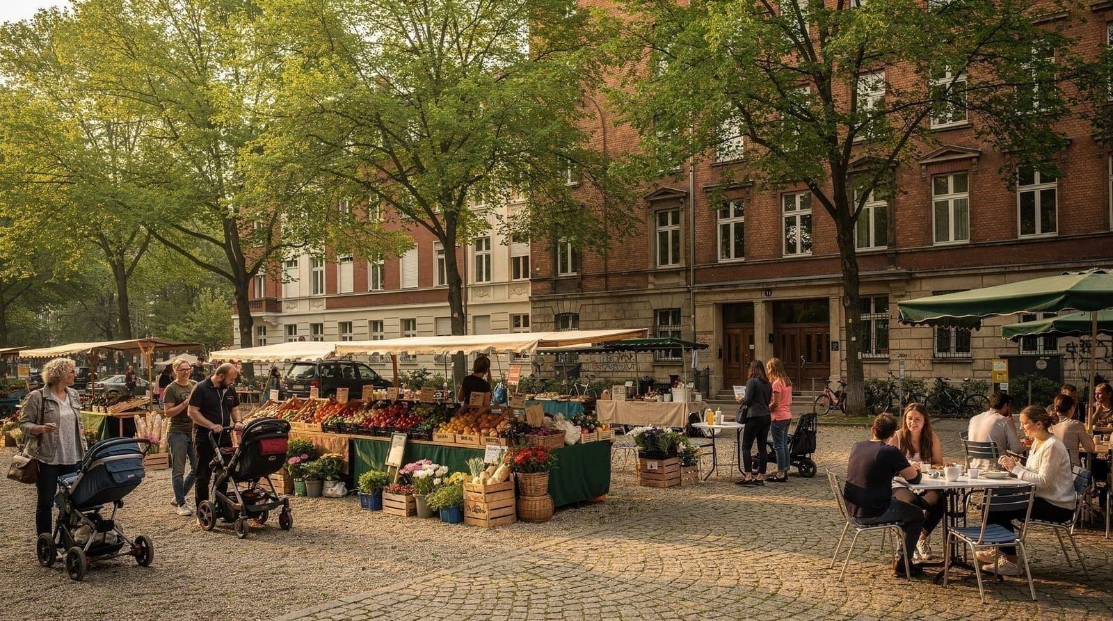
Prenzlauer Berg — the gentrified East
Prenzlauer Berg was a working-class and then artist neighborhood in the 1990s that has fully gentrified into the city’s most family-friendly district. Leafy pre-war streets, Kollwitzplatz with its organic farmers market, Mauerpark flea market, the Kulturbrauerei complex, and a cafe culture that caters to parents with prams.
Character: comfortable, residential, organic, occasionally smug. Excellent tram connections to Mitte. Quiet after midnight.
Who it’s for: families, visitors who want a residential neighborhood feel with fast access to the center.
Full guide: Prenzlauer Berg guide.
Kreuzberg — the diverse alternative
Kreuzberg is where Berlin’s reputation for alternative culture and excellent food is most concentrated and most justified. The Turkish-German community in SO36, the Bergmannkiez gentrification in the west, the Topography of Terror on the southern edge, the Turkish Market, and a nightlife scene that prioritizes bars and smaller clubs over megaclubs.
Character: diverse, energetic, excellent food, slightly chaotic in SO36. The most culturally interesting neighborhood for most visitors.
Who it’s for: food-focused travelers, culture seekers, nightlife visitors who prefer bars over clubs.
Full guide: Kreuzberg neighborhood guide.
Friedrichshain — clubs and the Wall
Friedrichshain is the nightlife district of Berlin’s east — home to Berghain, the RAW-Gelände club complex, Watergate, and the East Side Gallery along the Spree. Karl-Marx-Allee is a stunning example of Stalinist neoclassical architecture. Boxhagener Platz provides the residential counterweight.
Character: loud, energetic, industrial, excellent for nightlife and street art. Cheaper than Mitte or Charlottenburg.
Who it’s for: nightlife seekers, younger travelers, East Side Gallery visitors, anyone wanting proximity to the club scene.
Full guide: Friedrichshain guide.
Neukölln — the multicultural south
Neukölln is Berlin’s largest and most diverse district. The Weserstrasse bar scene represents the recent gentrification layer; Sonnenallee is one of Europe’s most concentrated Arab commercial strips; Tempelhofer Feld is one of the largest urban parks in the world; Rixdorf preserves an 18th-century Bohemian village.
Character: diverse, affordable, genuine, varied. Less polished than the other five neighborhoods but the most interesting for food diversity and urban anthropology.
Who it’s for: budget travelers, food lovers, visitors interested in multicultural urban life.
Full guide: Neukölln guide.
The neighborhoods visitors often miss
Schöneberg
Schöneberg sits south of Kreuzberg and west of Neukölln, part of the former West Berlin. It has specific cultural significance as the center of Berlin’s LGBTQ+ community — the bars on Motzstrasse and Fuggerstrasse have been queer spaces since the Weimar Republic era, and the district has a long history of queer political organizing. David Bowie and Iggy Pop lived on Hauptstrasse from 1976 to 1978.
The Saturday market on Winterfeldtplatz is one of the best in the city: a mix of organic produce, street food, and a flea market running simultaneously. Akazienstrasse has concentrated some of the best independent cafes and restaurants in Berlin.
For LGBTQ+ travelers, Schöneberg rather than Kreuzberg or Neukölln is the historic center of the community in Berlin. See the Berlin queer nightlife guide for current venues.
Tiergarten — the central park and government district
Tiergarten is both a neighborhood name and a park. The Tiergarten park (210 hectares, roughly Central Park scale) is the main green lung of central Berlin, running west from the Brandenburg Gate to the Zoo. It contains the Victory Column (Siegessäule, accessible by lift, free), the Soviet War Memorial on Strasse des 17. Juni, and extensive cycling and walking paths.
The Tiergarten neighborhood surrounds the park to the south and east and contains the government district (Bundestag, Chancellery, Paul-Löbe-Haus), the Hauptbahnhof, and the Kulturforum museum cluster (Gemäldegalerie, Neue Nationalgalerie, Philharmonie).
For green space and cycling, see the Tiergarten guide.
Wedding — the coming neighborhood
Wedding in the north of Berlin is where the early indicators of gentrification are now visible — the same pattern that Prenzlauer Berg showed in the mid-1990s and Neukölln showed in the mid-2000s. Low rents have attracted artist studios, independent cafes, and gallery spaces. It is not yet a neighborhood most visitors would choose as a base, but it is representative of the city’s ongoing transformation and worth a half-day exploration from Prenzlauer Berg (20 minutes by tram).
Treptow-Köpenick — lakes and the Soviet memorial
Treptow-Köpenick in the southeast encompasses some of Berlin’s most pleasant waterfront scenery. The Müggelsee is a large natural lake popular for swimming and boating; Köpenick has a historic old town (Altstadt) on an island at the confluence of the Spree and Dahme rivers. The most significant visitor site is the Soviet War Memorial at Treptower Park — one of the largest WWII memorials in Europe, with a 12-metre bronze soldier figure and the graves of 7,000 Soviet soldiers. See the Soviet War Memorial guide.
How to build a route across neighborhoods
Berlin is large enough that trying to cover all neighborhoods on a single trip is counterproductive. A practical approach by trip length:
2-3 days: Mitte and one neighborhood (Prenzlauer Berg or Kreuzberg). Cover Museum Island, the Wall sites, and one area with genuine character.
4-5 days: Add Charlottenburg (palace + KaDeWe half-day) and Friedrichshain (East Side Gallery + Boxhagener Platz). This covers the main visitor geography.
6-7 days: Add a day in Neukölln (Tempelhofer Feld + Sonnenallee + Weserstrasse), plus Schöneberg (Winterfeldtplatz market on Saturday).
7+ days: Add Treptow (Soviet Memorial + Müggelsee), Wedding (gallery exploring), and one or two day trips (Potsdam is essential; Sachsenhausen is important for history visitors).
Berlin East-West hop-on hop-off tour — covers both former halves of the city, live commentaryThe language of Berlin neighborhoods
Several German terms appear repeatedly in Berlin neighborhood discussions:
Bezirk — the official administrative borough. Berlin has 12 (Mitte, Friedrichshain-Kreuzberg, Pankow, Charlottenburg-Wilmersdorf, Spandau, Steglitz-Zehlendorf, Tempelhof-Schöneberg, Neukölln, Treptow-Köpenick, Marzahn-Hellersdorf, Lichtenberg, Reinickendorf).
Kiez — the intimate local neighborhood within a district that residents identify with. Multiple Kieze exist within each Bezirk.
Altbau — pre-1945 apartment building, typically 4-6 storeys, with thick walls, high ceilings, and often a large courtyard (Hinterhof). These are the most sought-after apartments in Berlin and define the architectural character of Prenzlauer Berg, Charlottenburg, and parts of Kreuzberg.
Plattenbau — the prefabricated concrete panel housing estates built in East Germany from the 1960s-80s. Dense in outer-east boroughs (Marzahn, Hellersdorf, Lichtenberg). Historically associated with GDR working-class life; now housing a mix of long-term residents and recent immigrants.
Hinterhof — the rear courtyard behind a street-facing Altbau building. Many Berlin cafes, galleries, and studios occupy Hinterhof spaces that are invisible from the street. The Hackesche Höfe in Mitte is the most famous example of a multiple Hinterhof system.
Späti — late-night corner shop (from “Spätkauf” — late purchase). Spätis sell beer, basic groceries, cigarettes, and snacks until well after midnight and are an important part of Berlin’s informal social infrastructure.
Berlin guided walking tour in English — 2.5 hours, covers the main neighborhoods and Cold War history
Frequently asked questions about Berlin neighborhoods overview
What are the main neighborhoods in Berlin for tourists?
The six neighborhoods most visited by tourists are: Mitte (historic center, Museum Island), Charlottenburg (west Berlin hub, Ku'damm, Zoo), Prenzlauer Berg (gentrified east, organic markets, families), Kreuzberg (alternative culture, Turkish community, street food), Friedrichshain (nightlife, East Side Gallery, clubs), and Neukölln (multicultural, Tempelhofer Feld, cheapest inner area). Beyond these, Schöneberg, Tiergarten, Wedding, and Pankow have specific visitor interest.What is the difference between East Berlin and West Berlin neighborhoods today?
The practical differences have decreased since reunification in 1990 but remain visible. East Berlin neighborhoods tend to have more Art Nouveau Altbau apartment buildings (many were not bombed as heavily as West Berlin), different urban planning patterns, and a newer restaurant and bar infrastructure built since the 1990s. West Berlin neighborhoods have a more commercial, service-industry character developed over 45 years of Cold War isolation. Both are fully integrated into the same transit network.What is Kiez in Berlin?
Kiez is the Berlin term for a small, intimate neighborhood — the few streets you consider your own local area within a larger district. It comes from Slavic languages and predates unified Germany. Berliners identify strongly with their Kiez: asking someone where they live in Berlin, they will typically name a Kiez (Bergmannkiez, Kollwitzplatz, Kreuzkölln) rather than the official district name. The concept implies walkable local infrastructure — a bakery, a corner bar (Kneipe), a park — that you use daily.Which neighborhoods are overrated for tourists?
The immediate vicinity of Checkpoint Charlie is overcrowded and commercialised — not worth spending time in beyond a quick look at the historical markers. The Alexanderplatz plaza itself is a transit hub with little character. Parts of the Ku'damm retail strip are indistinguishable from any European high street. These are not neighborhoods to avoid, but they reward passing through rather than lingering.Which neighborhoods are underrated?
Schöneberg (particularly Akazienstrasse and the area around Winterfeldtplatz) is consistently overlooked despite excellent cafes, a good Saturday market, and a significant queer history (Christopher Street, David Bowie's apartment on Hauptstrasse). Treptow-Köpenick in the southeast offers genuine waterfront lakes and the Soviet War Memorial at Treptower Park. Wedding in the north is where the next gentrification wave is visible in early form.How do I get between neighborhoods in Berlin?
The BVG network (U-Bahn, S-Bahn, trams, and buses) connects all major neighborhoods. Key cross-city times — Zoo (Charlottenburg) to Alexanderplatz (Mitte): 15 min by S-Bahn. Prenzlauer Berg to Mitte: 8-10 min by tram. Kreuzberg to Mitte: 10 min by U6. Friedrichshain to Mitte: 5 min by S-Bahn. Neukölln to Kreuzberg: 3 min by U8. A day ticket (EUR 10, AB zone) covers unlimited travel.What are the best neighborhoods for street art in Berlin?
Friedrichshain (the East Side Gallery and the streets around Boxhagener Platz), Kreuzberg (along the Landwehrkanal and Oranienstrasse side streets), and the Mitte-Prenzlauer Berg border around Hackescher Markt have the densest street art. The art changes frequently; the East Side Gallery murals are maintained but partially restored. See the Berlin street art guide for a current map.
Top experiences
Bookable activities with verified prices and instant confirmation on GetYourGuide.